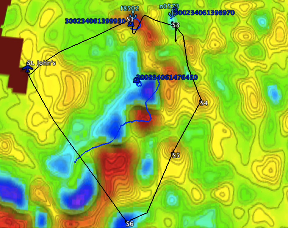
C-130 flight track (black) overlaid on the sea level anomaly (SLA) eddy map. Float (light blue anchors) and drifter (dark blue circles) positions and IDs are also shown. The ship carried out a dawn casting at Point S4. Eddy map courtesy of Peter Gaube.