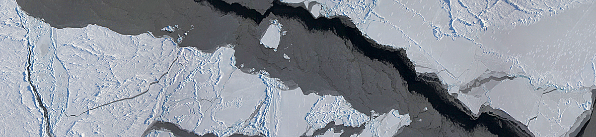
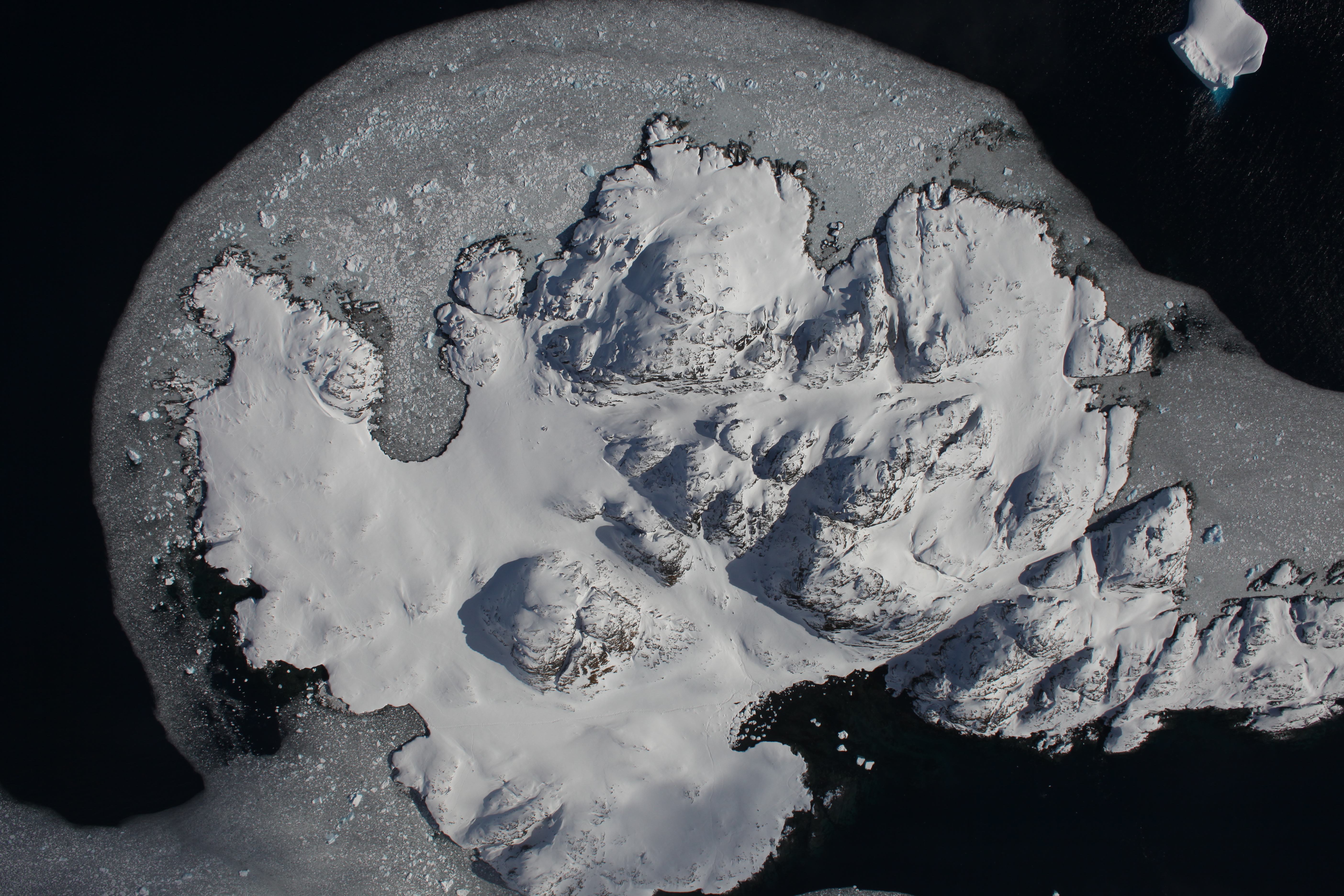
The Digital Mapping System (DMS) is an airborne digital camera system that acquires high resolution natural color and panchromatic imagery from low and medium altitude research aircraft. The DMS includes an Applanix Position and Orientation system to allow precision image geo-rectification. Data acquired by DMS are used by a variety of scientific programs to monitor variation in environmental conditions, assess global change, and respond to natural disasters.
Mission data are processed and archived by the Airborne Sensor Facility (ASF) located at the NASA Ames Research Center in Mountain View, CA. DMS imagery from Operation IceBridge are archived at the National Snow and Ice Data Center in Boulder, CO.
Instrument Type: Canon/Zeiss Camera with IMU/GPS
Measurements: 21-Mpixel natural color Imagery