The website is undergoing a major upgrade. Until that is complete, the current site will be visible but logins are disabled.
Synonyms:
Operation Ice Bridge
Ice Bridge
IceBridge
Operations IceBridge
Sub-categories:
OIB 2016,
OIB 2017,
OIB 2018,
OIB Fall 2009,
OIB Fall 2010,
OIB Fall 2011,
OIB Fall 2015,
OIB Spring 2009,
OIB Spring 2010,
OIB Spring 2011,
OIB spring 2015,
OIB Summer 2019
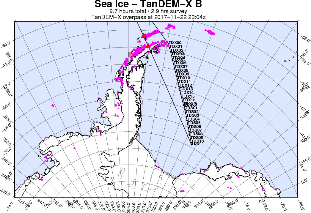
Map of Sea Ice - TanDEM-X B
IceBridge Launches Two Sets of Antarctic Flights
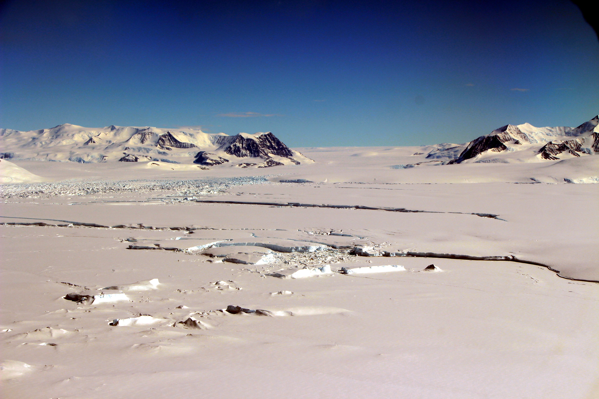
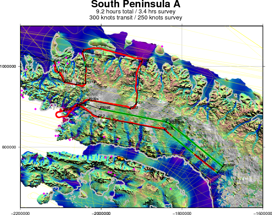
Scientists with NASA’s longest-running airborne mission to map polar ice, Operation IceBridge, completed a successful science flight on Oct. 29, inaugurating their 2017 survey of Antarctic sea and land ice. For the first time in its nine years of operations in the southern hemisphere, IceBridge will launch two consecutive, dedicated sets of Antarctic flights from two continents—South America and Antarctica—with two different aircraft and instrument suites.
NASA Flights Map Summer Melt of Greenland Land Ice
Operation IceBridge is flying in Greenland to measure how much ice has melted over the course of the summer from the ice sheet. The flights, which began on Aug. 25 and will go on until Sept. 21, repeat paths flown this spring and aim to monitor seasonal changes in the elevation of the ice sheet.
NASA Scientists Seek to Improve Sea Ice Predictions
NASA researchers are working to improve their forecasts of the size of the Arctic sea ice cover at the end of the summer melt season — but the goal is not just to have a better prediction of sea ice coverage. The challenge of making summer sea ice forecasts allows scientists to test their understanding of the processes that control seasonal sea ice growth and retreat, and to fine-tune computer models that represent connections among the ice, atmosphere and ocean.
Pages