Synonyms: 
P3B
P-3 Orion
NASA P-3B
NASA P-3
NASA-P3B
P-3
P-3B
P3
P3-B
WFF P3-B
NASA P-3 Orion - WFF
Associated content: 

Atmospheric Vertical Observations of CO2 in the Earth's Troposphere

The NASA Langley CO2 sampling system (AVOCET) has an extensive measurement heritage in tropospheric field campaigns, delivering high reliability over 3400 flight hours (452 science flights) and is recognized within the CO2 community as a benchmark for evaluating newly evolving remote CO2. This instrument was adapted by the investigators for airborne sampling and has been successfully deployed aboard NASA research aircraft beginning with the PEM-West A mission in 1992, and more recently during the 2016 KORUS-AQ, 2017 ACSENDS/ABoVE, and 2019 FIREX-AQ missions. The newest iteration of the technique as of 2017 has at its core a modified LI-COR model 7000 non-dispersive infrared spectrometer (NDIR). The basic instrument is small (13 x 25 x 37 cm) and composed of dual 11.9 cm^3 sample/reference cells, a feedback stabilized infrared source, 500 Hz chopper, thermoelectrically-cooled solid state PbSe detector, and a narrow band (150 nm) interference filter centered on the 4.26 μm CO2 absorption band. Using synchronous signal detection techniques, it operates by sensing the difference in light absorption between the continuously flowing sample and reference gases occupying each side of the dual absorption cell. Thus, by selecting a reference gas of approximately the same concentration as background air (~405 ppm), minute fluctuations in atmospheric concentration can be quantified with high precision. Calibrations are performed frequently during flight using WMO-traceable standards from NOAA ESRL. Precisions of ≤ 0.1 ppm (±1σ) for 1 Hz sampling rates are typical for our present airborne CO2 system when operated at 600 torr sample pressure.

Instrument Type: 
Measurements: 
Point(s) of Contact: 

High Spectral Resolution Lidar

The NASA Langley airborne High Spectral Resolution Lidar (HSRL) is used to characterize clouds and small particles in the atmosphere, called aerosols. From an airborne platform, the HSRL science team studies aerosol size, composition, distribution and movement.

The HSRL-1 instrument is an innovative technology that is similar to radar; however, with lidar, radio waves are replaced with laser light. Lidar allows researchers to see the vertical dimension of the atmosphere, and the advanced HSRL makes measurements that can even distinguish among different aerosol types and their sources. The HSRL technique takes advantage of the spectral distribution of the lidar return signal to discriminate aerosol and molecular signals and thereby measure aerosol extinction and backscatter independently.

The HSRL-1 instrument provides measurements of aerosol extinction at 532 nm and aerosol backscatter and depolarization at 532 and 1064 nm. The HSRL measurements of aerosol extinction, backscattering, and depolarization profiles are being used to:

1) characterize the spatial and vertical distributions of aerosols
2) quantify aerosol extinction and optical thickness contributed by various aerosol types
3) investigate aerosol variability near clouds
4) evaluate model simulations of aerosol transport
5) assess aerosol optical properties derived from a combination of surface, airborne, and satellite measurements.

Instrument Type: 
Point(s) of Contact: 

Airborne Second Generation Precipitation Radar

The APR-2 is a dual-frequency (13 GHz & 35 GHz), Doppler, dual-polarization radar system. It has a downward looking antenna that performs cross track scans, covering a swath that is +/- 25 to each side of the aircraft path. Additional features include: simultaneous dual-frequency, matched beam operation at 13.4 and 35.6 GHz (same as GPM Dual-Frequency Precipitation Radar), simultaneous measurement of both like- and cross-polarized signals at both frequencies, Doppler operation, and real-time pulse compression (calibrated reflectivity data can be produced for large areas in the field during flight, if necessary).

Instrument Type: 
Point(s) of Contact: 

Cloud Aerosol and Precipitation Spectrometer

Measures concentration and records images of cloud particles from approximately 50-1600 microns in diameter with a resolution of 25 microns per pixel. Measures cloud droplet and aerosol concentrations within the size range of 0.5-50 microns.

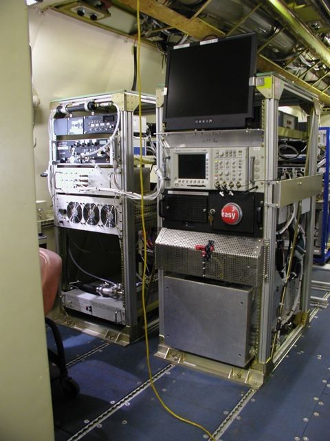
The three DMT instruments included in the CAPS are the Cloud Imaging Probe (CIP), the Cloud and Aerosol Spectrometer (CAS), and the Hotwire Liquid Water Content Sensor (Hotwire LWC).

The CIP, which measures larger particles, operates as follows. Shadow images of particles passing through a collimated laser beam are projected onto a linear array of 64 photodetectors. The presence of a particle is registered by a change in the light level on each diode. The registered changes in the photodetectors are stored at a rate consistent with probe velocity and the instrument’s size resolution. Particle images are reconstructed from individual “slices,” where a slice is the state of the 64-element linear array at a given moment in time. A slice must be stored each time interval that the particle advances through the beam a distance equal to the resolution of the probe. Optional grayscale imaging gives three levels of shadow recording on each photodetector, allowing more detailed information on the particles.

The CAS, which measures smaller particles, relies on light-scattering rather than imaging techniques. Particles scatter light from an incident laser, and collecting optics guide the light scattered in the 4° to 12° range into a forward-sizing photodetector. This light is measured and used to infer particle size. Backscatter optics also measure light in the 168° to 176° range, which allows determination of the real component of a particle’s refractive index for spherical particles.

The Hotwire LWC instrument estimates liquid water content using a heated sensing coil. The system maintains the coil at a constant temperature, usually 125 °C, and measures the power necessary to maintain this temperature. More power is needed to maintain the temperature as droplets evaporate on the coil surface and cool the surface and surrounding air. Hence, this power reading can be used to estimate LWC. Both the LWC design and the optional PADS software contain features to ensure the LWC reading is not affected by conductive heat loss.

Point(s) of Contact: 

Ku-band Radar Altimeter

The Center has been developing a wideband radar altimeter that operates over the frequency range from 13 to 17 GHz. The primary purpose of this radar is high precision surface elevation measurements over polar ice sheets. The data collected with this radar can be analyzed in conjunction with laser-altimeter data to determine thickness of snow over sea ice. The radar has been flown on a NASA DC-8 aircraft, and the NSF provided a Twin Otter aircraft.

Instrument Type: 
Point(s) of Contact: 

Pages

Subscribe to RSS - P-3 Orion - WFF