The Dassault HU-25C Guardian is a modified twin-engine business jet, based on the civilian Dassault FA-20G Falcon. The aircraft was previously used by the U.S. Coast Guard as a search-and-rescue platform. NASA acquired this aircraft in 2011 to provide a medium altitude, medium range platform for remote sensing instruments and satellite support. Payload accommodations include a nadir camera port, large search windows on each side of the fuselage, a hard point with pylon under each wing, provisions for mounting atmospheric sampling probes on the crown of the fuselage, and a nadir drop hatch (32 in. long x 19.7 in. wide).
Owner/Operator:
NASA Langley Research Center
Type:
Fixed-wing dual jet engine
Useful Payload:
3 000 lbs
Gross Take-off Weight:
32 000 lbs
Max Altitude:
39000
Air Speed:
430 knots
Range:
2 075 Nmi
Power:
350 amps DC, 47 amps AC
Point(s) of Contact:
Bruce Fisher
Work: (757) 864-3862
Digital Mapping System
The Digital Mapping System (DMS) is an airborne digital camera system that acquires high resolution natural color and panchromatic imagery from low and medium altitude research aircraft. The DMS includes an Applanix Position and Orientation system to allow precision image geo-rectification. Data acquired by DMS are used by a variety of scientific programs to monitor variation in environmental conditions, assess global change, and respond to natural disasters.
Mission data are processed and archived by the Airborne Sensor Facility (ASF) located at the NASA Ames Research Center in Mountain View, CA. DMS imagery from Operation IceBridge are archived at the National Snow and Ice Data Center in Boulder, CO.
Instrument Type: Canon/Zeiss Camera with IMU/GPS
Measurements: 21-Mpixel natural color Imagery
The Airborne Topographic Mapper (ATM) is a scanning LIDAR developed and used by NASA for observing the Earth's topography for several scientific applications, foremost of which is the measurement of changing arctic and antarctic icecaps and glaciers. It typically flies on aircraft at an altitude between 400 and 800 meters above ground level, and measures topography to an accuracy of ten to twenty centimeters by incorporating measurements from GPS (global positioning system) receivers and inertial navigation system (INS) attitude sensors.
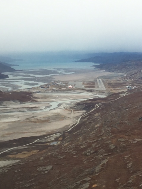
The ATM instruments are based at NASA's Wallops Flight Facility (WFF) in Virginia. They commonly fly aboard the NASA P3-B based at WFF and have flown aboard other P-3 aircraft, the NASA DC-8, several twin-otters (DHC-6), and a C-130; they can fly on most Twin Otter/King Air-class aircraft. The ATM has flown surveys in Greenland nearly every year since 1993. Other uses have included measurement of sea ice, verification of satellite radar and laser altimeters, and measurement of sea-surface elevation and ocean wave characteristics. The altimeter often flies in conjunction with a variety of other instruments. The ATM has been participating in NASA's Operation IceBridge since 2009.

")